
Introduction to Global Positioning Systems for GIS Mapping and Navigation
This three-day hands-on workshop is designed for participants with little or no working experience with mapping-grade Global Positioning Systems and techniques. The workshop will cover basic concepts of GPS as well as basic operation of data loggers, receivers, and antennas. Various strategies for collecting positional data in the field will be presented and practiced. Techniques for using real-time and post-processing differential GPS data will be practiced.
Post-processing and editing data collected in the field and exporting the data to a spatial graphics package (like CAD or Geographic Information System-GIS) will be covered. Participants will gain experience using real-time differential GPS for navigation to locations using differential GPS beacons and satellite differential GPS.
This workshop will be a mix of lectures, demonstrations, hands-on computer activities and field exercises with GPS equipment and support software.
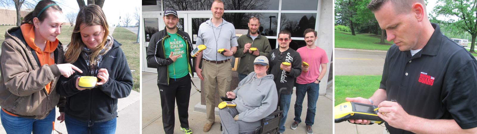
In the interest of standardization and efficiency, during this workshop, commercial mapping-grade GPS receiver systems (GEO 7x series, the industry’s workhorse, Terrasync GPS software, and Pathfinder Office integration/processing software; Trimble Navigation, LTD.) will be used.
No other systems or unit types will be used during this course, due to the variation in operation across different manufacturers’ equipment.
Workshop size is limited to 10 participants to keep the equipment-to-participant ratio high, and participant-to-instructor ratio low. FIVE (5) GEO 7x series units will be available, enough for 2 people per unit.
If participants have their own GEO series receivers they are encouraged to bring them and train with them. However, this is NOT necessary.
NOTE: Participants trained on GEO 7x series units will easily be able to use GEO CE units. Further, by training on Terrasync GPS software, participants will be able to use any windows CE unit they wish to integrate with Trimble GPS systems, such as Pro XR systems and RECON dataloggers.
For questions regarding the course, contact Dr. Cary D. Chevalier (816.271.4252; cchev@missouriwestern.edu).
Upcoming Courses:
- TBD
Tuition
$500.00 per person + fees if applicable
Materials provided.
To register, click here!
Instructor
Dr. Cary Chevalier
Professional Certified Trainer in Mapping GPS (Trimble)
Biology Department
Missouri Western State University
(816) 271-4252
cchev@missouriwestern.edu
No discounts or fee waivers apply for this workshop.
Subjects Covered
GPS Fundamentals
- GIS overview
- GPS overview
- Basic geodesy
Field Session Planning
- Data dictionaries
- Sources of base files
- Data logger configuration (GEO XT/XH, 6000, 7x Series)
Data Processing with Pathfinder Office
- Configuration
- Differential correction
- Map display and editing
- Plotting
- Exporting
- Batch processing
Waypoints and Navigation
Systems Accuracy
- Correction methods
Mapping Projects
- Project steps
- System components
Data Collection
- Field techniques